Things to take into account
- Flood overlays as proposed adversely impact land owners and the future of the whole town
- Only 2 concerning flood events on record? 1972 (before LS was populated) and 2007
- AHD71 benchmark cited in 2004 peer reviewed paper(Lake Reeve excluded)
- In 2006, the first formal flood overlay AHD level was set at 1.9 meters for Gippsland Lakes region
- This suggests that a property with an AHD of 1.00m will be 0.9 meters under water (AEP 1%)
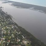
- 575 properties (20%) currently affected in Loch Sport at 1.9m –mainly along the Lake Reeve side of town
- Now the proposal is to increase it by 800mm to 2.7 meters
- Circa 2000 properties (70%) will be affected at the proposed 2.7m AHD (AEP 1%}
- No subdivision or new building allowed but renovations and extensions can be made to existing structures? Why the difference across LGAs?
- DEECA, WGCMA & WSC are the three agencies with responsibility
- The WGCMA determined flood overlays are shown in VicPlan for Loch Sport through to Seaspray, but none from EGCMA for Paynesville, Metung, Lakes Entrance?
- Water only enters the lakes as (1) direct rainfall (2) down the rivers from the catchments or (3) in from Bass Strait through the entrance at Lakes Entrance (deepened in 2015 from 2.5m to 7.0m). Winds are the other factor in flooding computations
- NASA predictions say the mean ocean level might rise by between 33cm and 5 plus metres by the year 2150 – other agencies are “all over the place” with significant low/high variances.
Flood Levels
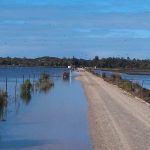
Track 10
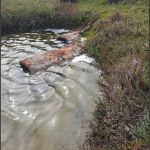
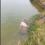
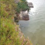
Dark Blue 1.9m Lighter blue 2.7. Other images are at 1.9m
Click Images
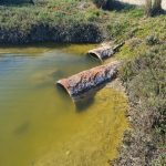
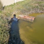
Before Cleanup
Lack of maintenance and clear evidence of water not flowing away
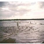
As evidenced in the first image (1995), Track 10 was originally a low tide causeway. A 1998 permit issued to Santos and the WSC led to its rebuilding and raising for heavy vehicle use. The impact of this alteration is visually demonstrated in the second image of the 2007 floods, where water is shown backing up towards Loch Sport.
