A Call to Review: Challenging the Revised Flood Overlay Guidelines on the Gippsland East Coast
Petition is closed 4,335 Signatures - Thank you to all that signed
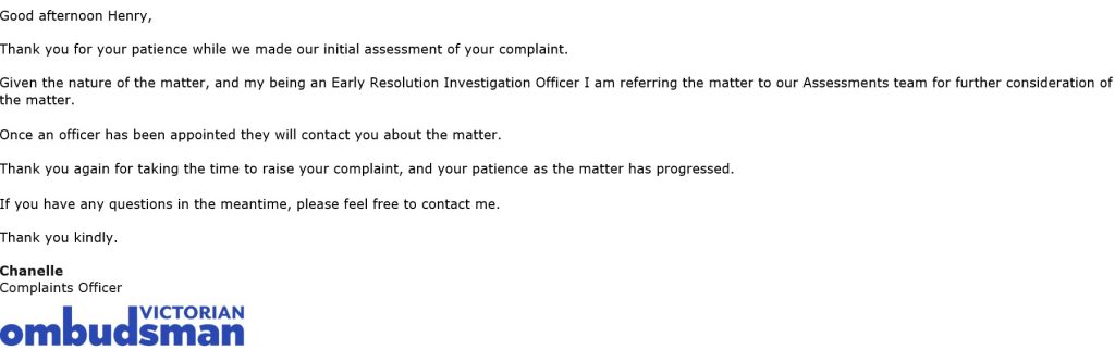
Latest Update - 27 July 25 at 9:01 AM
Community Update Saturday 23rd August at the Community Hall from 10.00am until 12.00 noon. Invitations to attend will be extended to the media, Danny O’Brien as the host of the petition, Coastal Ward Councillors, WGCMA, WSC officers and Councillors.
WELLINGTON SHIRE COUNCIL WE NEED YOUR SUPPORT
!!!! Verifiable evidence now indicates that the business community of Loch Sport is impacted by the consequences of this flood overlay decision.!!!!!!
The WGCMA serves as an advisory body. The Wellington Shire Council possess the authorization to discontinue the implementation of the 2.7-meter flood levels, projected for 2100, which were slated for introduction in 2024, citing a lack of substantial supporting data for the underlying flood guidelines.
Points of Contention Regarding WGCMA’s Flood Level Revisions
Upon review of the provided resources and the WGCMA’s decision, several significant points of contention arise:
- Rate of Change for Inundation Projections: The provided resources do not specify the rate of change for projected inundation sea levels up to the year 2100. This omission is critical for understanding the justification for accelerating long-term projections.
- Lack of Scientific Basis for Acceleration: It appears the WGCMA has, without presenting scientific evidence or substantive factual basis, unilaterally advanced the sea level rise projection for 2100 to the year 2024. This action lacks clear hydrological or climate science support within the supplied documentation.
- Contravening Government Provisions: Furthermore, the WGCMA’s approach appears to contravene specific provisions outlined in the Victorian Government’s Coastal Inundation Sea Level Rise Storm Tide 2100 guidelines.
Summary of Impact
This decision by the WGCMA has had a devastating and immediate impact on coastal communities in Eastern Victoria, including Loch Sport, Port Welshpool, and Port Albert. The ramifications extend to property values, development potential, and the overall economic and social viability of these towns.
We urge the Council to thoroughly review these points of contention and their broader implications for East Gippsland’s coastal areas.
The Victorian Government, with the support of the WGCMA, has changed the development conditions to the unchanged 2004 Flood Overlay report on the 2100 100-year flood overlay guidelines. Notifications were sent to the impacted Loch Sport residents stating that the WGCMA will not approve new development, business and residential, on vacant land on the East Coast including Loch Sport.
The Wellington Shire Council (WSC) and the WGCMA, up until several years ago, could choose to assess applications based on the 2040 Australian Height Datum (AHD) of 1.9m climate change scenarios. In October 2021 this option was taken out of the planning scheme by the state government and in February 2024 the WSC can only assess applications against the 2100 AHD 2.9M levels.
Advice regarding this alteration was not formally communicated to the community until November 2024.
The revised flood overlay guidelines have significant implications on a decline in:
Essential Services
- Healthcare: Reduced funding can lead to the closure of local clinics, making it difficult for residents to access timely medical care.
- Education: Schools might face budget cuts, leading to fewer resources, larger class sizes, and potentially the closure of smaller schools. Make the town less attractive to young families.
- Infrastructure: Roads, bridges, and public transport systems may deteriorate due to a lack of investment in maintenance and upgrades.
- Emergency Services: Fire departments, police, and ambulance services might struggle with inadequate funding for equipment, training, and staffing, potentially compromising public safety.
- Social Services: Support for vulnerable populations, such as the elderly, people with disabilities, and low-income families, could be reduced, leading to increased hardship.
Economic Impacts:
- Reduced Investment: Businesses might be hesitant to invest or relocate to a town with poor infrastructure and limited services.
- Job Losses: The decline in services and lack of new investment can lead to job losses, further weakening the local economy.
- Population Decline: As services decline, residents, especially younger generations, may move away in search of better prospects, leading to a shrinking population and an aging demographic.
- Struggling Local Businesses: Without local support, infrastructure that supports commerce, existing businesses will struggle to thrive.
- Potential threat of loan recalls
- Increase in insurance or no insurance at all
- Buyer uncertainty
Social and Community Impacts:
- Reduced Community Cohesion: A lack of investment in community facilities and services can weaken social bonds and reduce opportunities for community interaction.
- Increased Social Problems: Economic hardship, reduced social and housing can contribute to a number of social problems.
- Loss of Identity: As a town declines, it may lose its unique character and sense of identity.
- Closure of post offices, limiting access to financial and communication services.
- Difficulties in attracting and retaining doctors, chemists and other healthcare professionals.
- Deteriorating infrastructure, making transportation and business operations challenging.
- A decline in local industry